Serviços de Agrimensura e Topografia
Precisão e qualidade em cada trabalho realizado.
Na Agertopo, oferecemos serviços especializados em topografia e agrimensura, utilizando equipamentos de ultima geração e profissionais qualificados para garantir precisão e qualidade em casa serviço prestado.
Precisão e Qualidade Sempre
Alguns de nossos Serviços
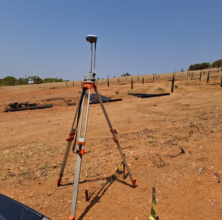
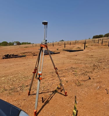
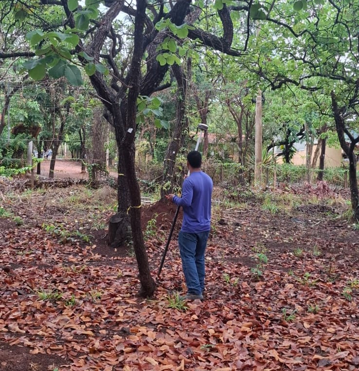
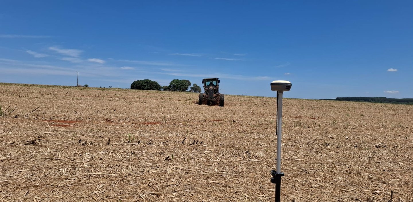
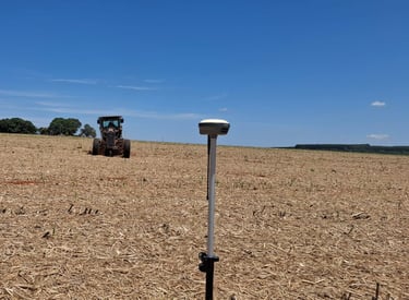
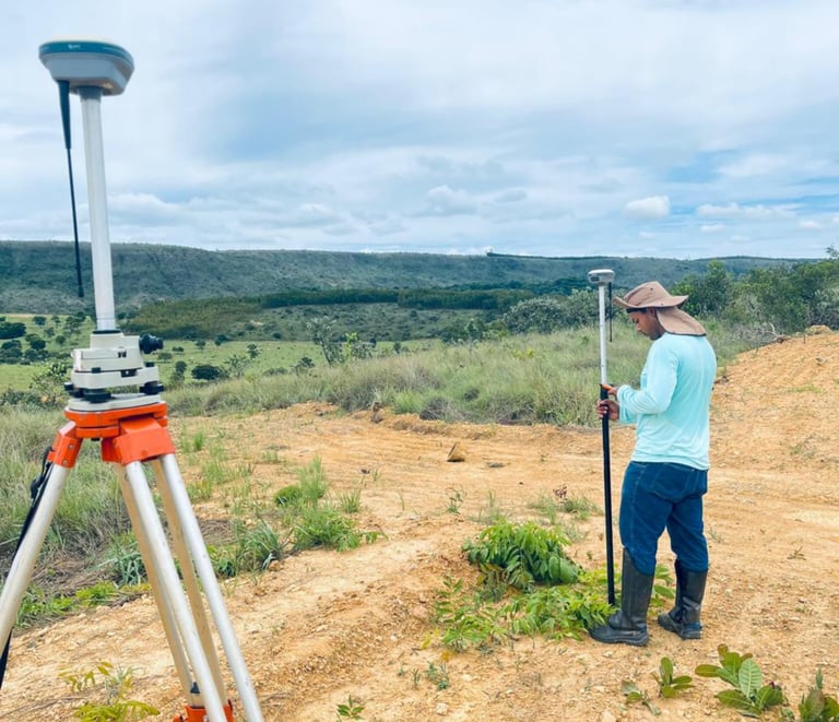
Levantamentos Planialtimétricos
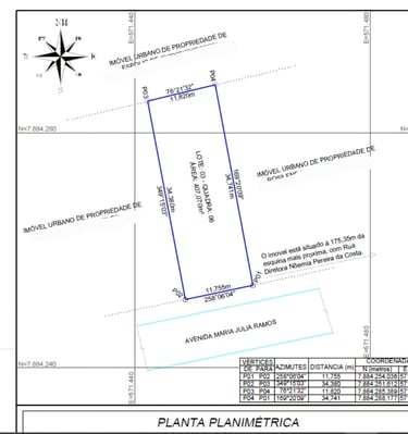
O levantamento planialtimétrico serve para criar um mapa detalhado de um terreno, unindo informações de suas dimensões horizontais (planimetria) e suas variações de altura (altimetria), sendo essencial para planejar e executar obras de engenharia e arquitetura, como construções, pavimentação, saneamento, regularização fundiária e urbanismo, pois fornece dados precisos sobre relevo, limites e elementos existentes, evitando erros e custos futuros.
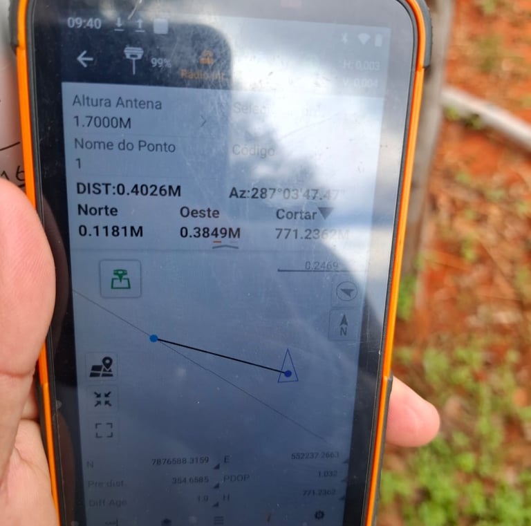
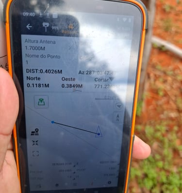
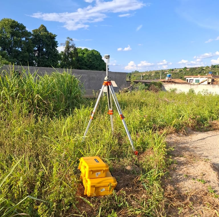
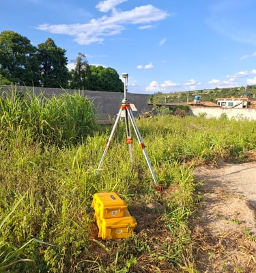
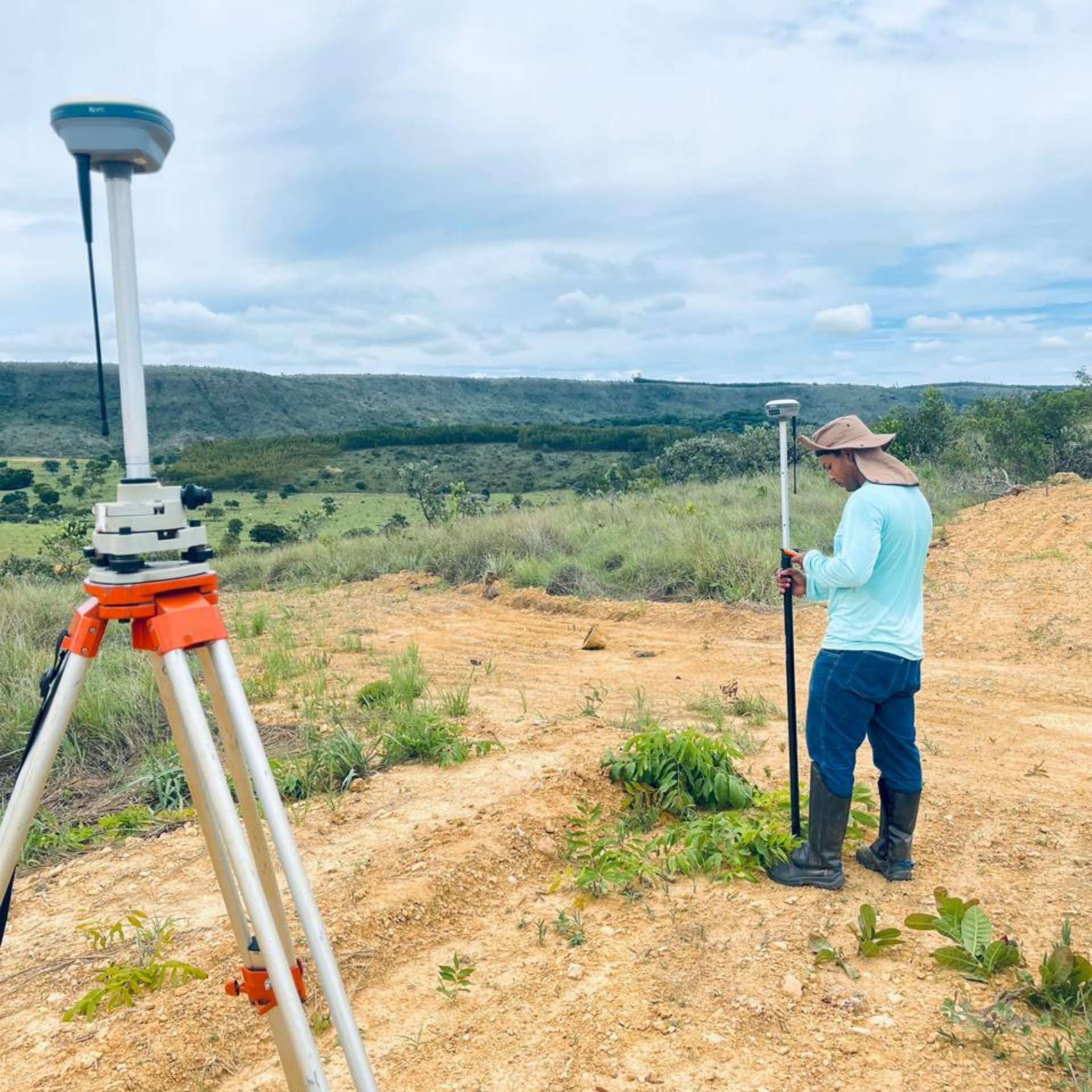
Georreferenciamento de imóveis rurais e urbanos
Georreferenciamento é o mapeamento técnico de um imóvel que define sua localização, limites e dimensão precisos por meio de coordenadas geográficas, usando tecnologias como GPS e drones.
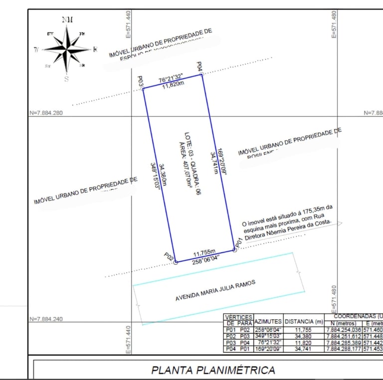
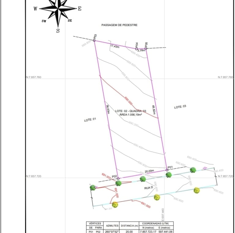
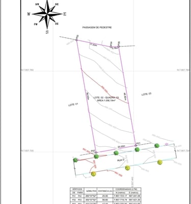
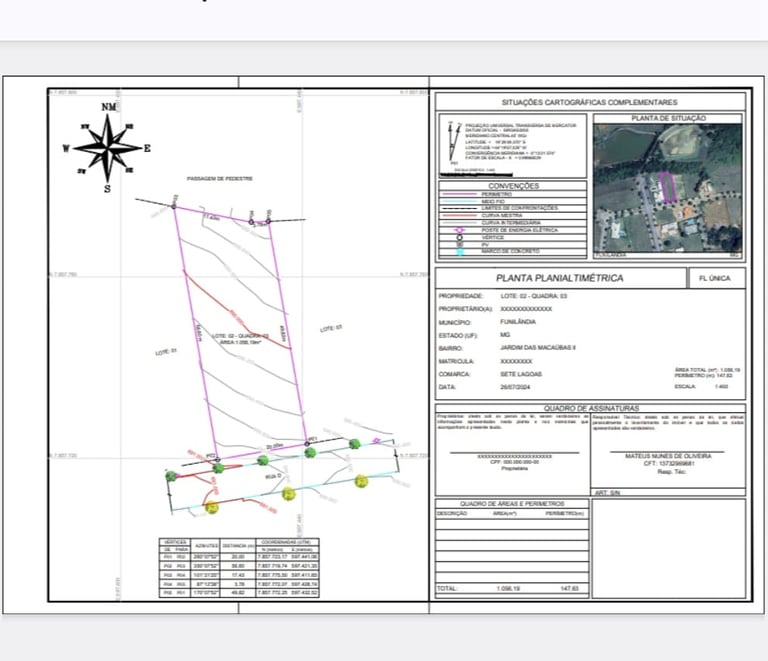
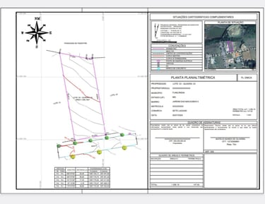
Desmembramento é a divisão de um único imóvel em dois ou mais menores, enquanto a unificação (ou remembramento) é o oposto, unindo dois ou mais lotes contíguos em um só, visando criar um terreno maior para projetos específicos, com ambos os processos exigindo aprovação da prefeitura e registro em cartório, e são cruciais para a segurança jurídica e valorização imobiliária.
Desmembramento e unificação
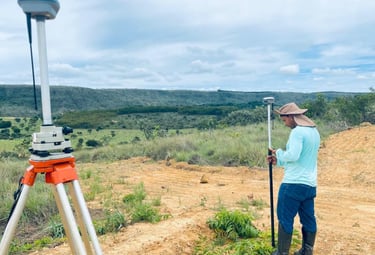


Galeria de Fotos
Explore nossos serviços de topografia e agrimensura.